Seward Highway self-guided audio tour
Seward Highway: Anchorage to Seward Self-Guided Audio Tour
About this tour
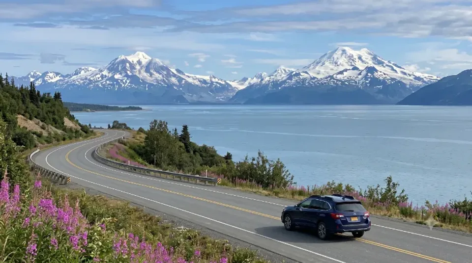
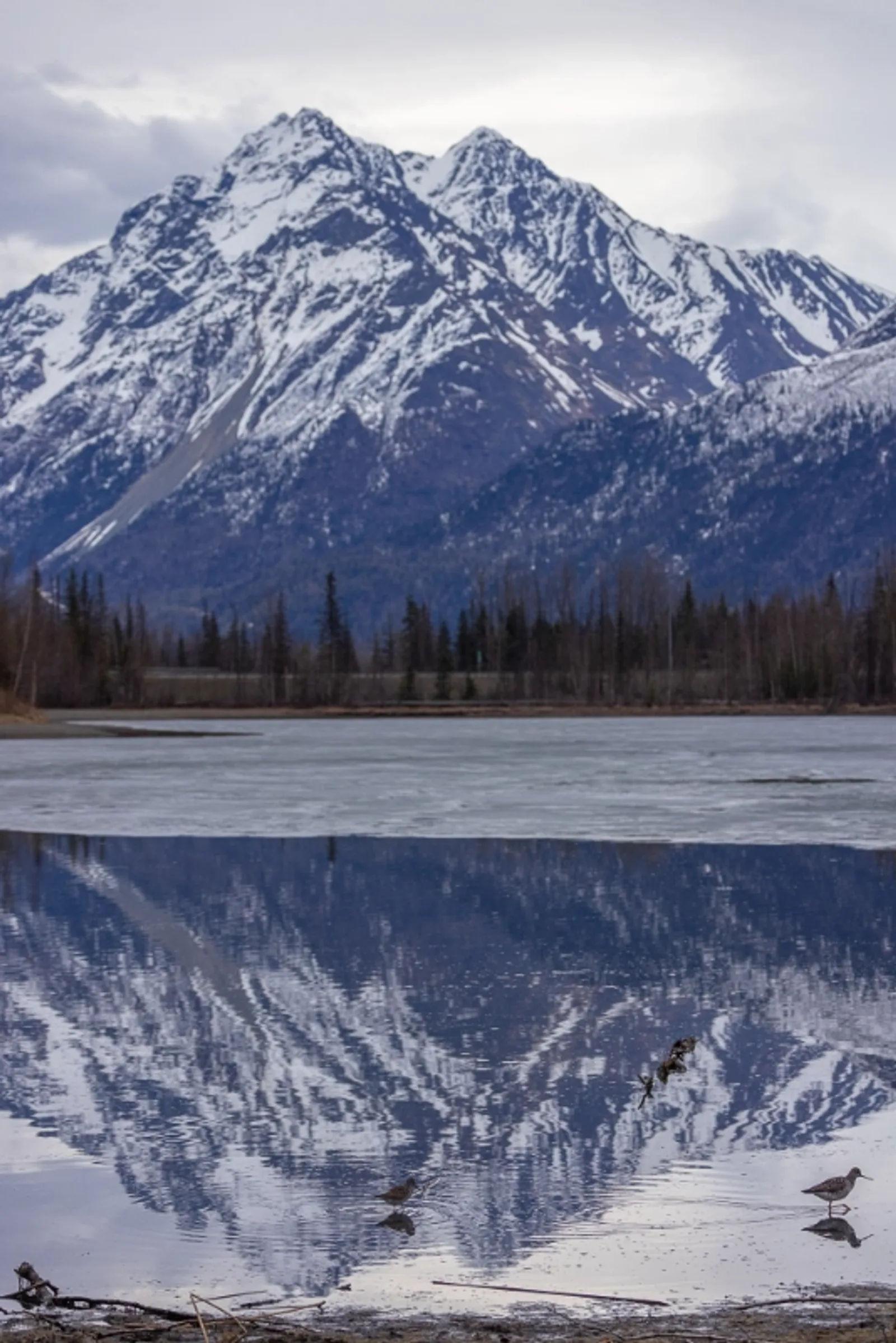
In the year 2000, the federal government sat down to name the handful of roads in America that aren't a way to get somewhere — they're the reason you came. The Seward Highway made the list. One hundred and twenty-seven miles from the edge of Anchorage to an ice-free harbor on the Gulf of Alaska, and it holds three separate scenic-byway titles at once, which is a bit like a horse winning the Triple Crown and then being told it also has a lovely singing voice. For the first fifty miles the road is pinned between a mountain wall and a long gray finger of the sea called Turnagain Arm — named, it turns out, by a very famous explorer having a very bad day. You'll hear what he was actually looking for, and who else was standing on that deck: a young sailing master whose name you absolutely know, for reasons that had nothing to do with Alaska and everything to do with a ship he lost twelve years later. Along that water you'll find out why it's the color of wet concrete and why walking out onto it is one of the worst ideas available to you in the state of Alaska. You'll learn how to spot the white whales that surface in it, and how to tell the sheep on the cliff above your car from the goats everyone insists they are. You'll meet a fish so oily you can light one end and read by it — and the people who did exactly that, for centuries, on this shoreline. And twice a day this water does something so unusual that people drive out from Anchorage, park, and just wait for it. We'll tell you exactly where to stand and roughly when. Then the road climbs into the Kenai Mountains, and the story turns. You'll pass a town that survived four minutes of the second-largest earthquake ever recorded and then, quietly, sank eight feet into the sea — and you'll see what's left of the one down the road that didn't survive at all. You'll hear how the sea caught fire in Seward's harbor that same night, which sounds like an exaggeration until you hear the part about the fuel tanks. You'll meet a woman who ran a roadhouse out here alone and hand-fed a bear on her porch, a thirteen-year-old orphan whose homework is currently flying over every school in Alaska, and a creek named for a bird that has never once been seen within four thousand miles of it. By the end you'll roll into a working fishing port that is the starting line of the most famous sled-dog race on earth, the finish line of a mountain footrace that locals will tell you, with total sincerity, is harder — and the front door of a national park you can only reach by boat, on foot, or by one single road that we'll point out on the way in. Two and a half hours of driving. About twice that if you do it right. The tour runs in both directions — and the return leg isn't the same tour backwards. It's a different set of stories, told to a driver who now knows what they're looking at. Bring snacks. Charge your phone. The pullouts on this road are not consolation prizes — some of them are the reason people fly here.
Stops on this tour
- 1Welcome to the Seward Highway
- 2Tudor Road - The Bypass That Isn't
- 3Leaving the Anchorage Bowl
- 4The Zoo and the O'Malley Exit
- 5The Old Seward Highway Splits Off
- 6Potter Marsh Boardwalk Pullout
- 7Potter Marsh - An Accidental Refuge
- 8Potter Section House
- 9The Turnagain Arm Trail
- 10The 38-Foot Tide
- 11Built in 1950, Rebuilt by the Quake
- 12McHugh Creek
- 13Beluga Point - White Whales in Gray Water
- 14The Rock You're Standing On
- 15Why the Water is Gray
- 16Rainbow Valley
- 17Windy Corner - Sheep at Sea Level
- 18Sheep, Not Goats
- 19Falls Creek
- 20Indian Valley Mine
- 21Hooligan - The Fish that Burns
- 22Indian Creek
- 23The Mudflats Are Not a Beach
- 24The Bore Tide
- 25Bird Creek
- 26Bird Creek Campground & Bird Ridge
- 27The Bird-to-Gird Path
- 28The Railroad on the Water's Edge
- 29Bird Point
- 30Bore Tide Turnout
- 31Bird-to-Gird's Best Bore View
- 32Penguin Creek
- 33Tidewater Slough
- 34The Girdwood Turn
- 35Virgin Creek Falls
- 36The Town That Moved
- 37Chugach National Forest: You're In It Now
- 38Crow Creek Gold
- 39Peterson Creek
- 40Twentymile River Observation Platform
- 41Twentymile River
- 42Portage: Junction to Whittier
- 43Alaska Wildlife Conservation Center
- 44Placer River & the Glacier Train
- 45Scenic Overlook Before the Mountains
- 46Ingram Creek
- 47Into the Kenai Mountains
- 48Into the Mountains: The Wall Closes In
- 49Turnagain Pass
- 50The Avalanche Bowl
- 51Bertha Creek: Where Prospectors Named the Water
- 52Spokane Creek
- 53Granite Creek & Johnson Pass North
- 54East Fork Sixmile Bridge
- 55Silvertip Creek
- 56Canyon Creek & the Bridge
- 57Hope Junction & Sixmile Whitewater
- 58The Climb to the Lake District
- 59Fresno Creek & Lower Summit Lake
- 60Lower Summit Lake
- 61Colorado Creek
- 62Tenderfoot Creek Campground
- 63Summit Lake Lodge
- 64Summit Lake & Tenderfoot
- 65Alaska Nellie's Country
- 66Devil's Creek & Resurrection Pass
- 67Tern Lake Junction: Handoff to the Sterling
- 68Tern Lake Wildlife
- 69Carter & Crescent Lakes
- 70Johnson Pass South Trailhead
- 71Trail Lakes Hatchery
- 72Moose Pass
- 73The Waterwheel
- 74Crown Point
- 75Trail River & Falls Creek
- 76Trail River & Kenai Lake's Color
- 77Ptarmigan Creek
- 78Lawing: Alaska Nellie's Last Stop
- 79Kenai Lake Viewpoint
- 80Victor Creek
- 81Snow River: Three Bridges
- 82Primrose & Lost Lake
- 83The Iditarod Trail Shares This Valley
- 84Grayling Lake & Moose Country
- 85Troop Lake
- 86Bear Lake & Bear Creek Weir
- 87Bear Creek & Salmon Creek
- 88Lost Lake South Trailhead
- 89Exit Glacier Road: The Only Road Into the Park
- 90Resurrection River
- 91Seward Airport & the Army Resort
- 92Benny Benson Memorial
- 93Welcome to Seward: Mile 0
- 94Mile 0 of the Iditarod
- 95Seward's Burning Sea: 1964
- 96Mount Marathon
- 97Resurrection Bay & Kenai Fjords
- 98Leaving Seward, The Road North
- 99Benny Benson, The Kid Who Made Alaska's Flag
- 100One Last Look at Resurrection Bay
- 101Nash Road & the Working Bay
- 102Exit Glacier Road, What's Up That Valley
- 103Lost Lake, the South Door
- 104Bear Creek, Watch the Weir
- 105Grouse Lake Mirror
- 106Chugach National Forest, East Boundary
- 107Grayling Lake Trailhead
- 108Wildlife Viewing Flats
- 109Lost Lake & the High Country
- 110Snow River & the Braided Floor
- 111Victor Creek Bridge Canyon
- 112Kenai Lake, The Other Shore
- 113Kenai Lake's Color Explained
- 114Ptarmigan Creek, Red Fish Running
- 115Crown Point & the Mines
- 116Trail Lakes & the Fish Factory
- 117Moose Pass, Slow Down, It's the Law of the Moose
- 118Trail Lakes, Nineteen Million Fish
- 119Johnson Pass South, The Two-Door Trail
- 120Carter Lake, A Leg-Stretch With Trout
- 121Tern Lake, Bipolar Birds
- 122Tern Lake Junction, The Sterling Comes In
- 123Devil's Pass & the Resurrection Trail
- 124Summit Lakes, The Top of the Drive
- 125Summit Lake Lodge & the Pie
- 126Colorado Creek & Watershed Divide
- 127Lower Summit Lake
- 128The Canyon Runs With You
- 129Hope Junction, The Town Time Forgot
- 130Canyon Creek Bridge
- 131East Fork Sixmile
- 132Granite Creek & the Old Trail
- 133Bertha Creek - Where the Name Came From
- 134Turnagain Pass - The Snow Machine Capital
- 135The Last Climb Before the Arm
- 136Ingram Creek - The Arm Returns
- 137Moose Alert - Willow Flats
- 138Placer River & Spencer Glacier
- 139Portage Junction - Tunnel Facts
- 140Twentymile - Hooligan and Eagles
- 141Peterson Creek - Back on the Flats
- 142The Drowned Forest, Reconsidered
- 143Chugach National Forest West Boundary
- 144Crow Creek - Still Paying
- 145Girdwood - Detour for the Tram
- 146Tidewater Slough & the Last Tidal Pocket
- 147Bird Point - The Bore Tide Grandstand
- 148The Railroad Beneath You
- 149The Bird-to-Gird Path
- 150Bird Creek - Combat Fishing
- 151Indian - The Old Mine
- 152Windy Corner - Look Up for Sheep
- 153Turnagain - Cook's Wrong Turn
- 154Bligh Was Here Too
- 155Beluga Point - One More Scan
- 156McHugh Creek - The Last Pull-Off
- 157The Mud That Keeps a Grudge
- 158Tikahtnu - You've Crossed Back
- 159Potter Section House
- 160Potter Marsh - The Accidental Refuge
- 161Potter Marsh Boardwalk
- 162The Zoo Turnoff
- 163Turnagain Heights - Where the Ground Failed
- 164Welcome to Anchorage
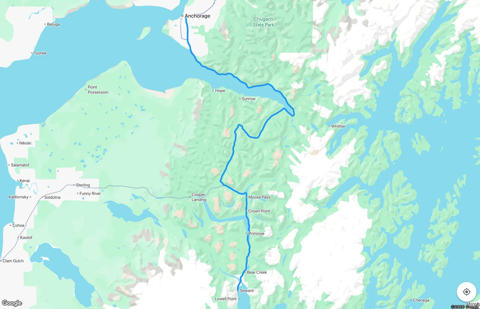
Route map
How to get this tour
Included in The Kenai Peninsula Bundle: Seward & Sterling Highways — from $29.99.
One-time purchase, no subscription. Works 100% offline once downloaded.


Why travelers trust Alaska Audio Guide
Written by a born-and-raised Southeast Alaskan
The routes and stories come from someone who grew up here — not scraped from a guidebook.
100% offline once downloaded
Built for zero-cell-service Alaska. Download before you sail and everything works with no signal.
Love it or your money back
A one-time purchase, no subscription. Not for you? Request a refund within 24 hours.
Keep exploring Seward Highway
Part of The Kenai Peninsula Bundle: Seward & Sterling Highways
Save versus buying single tours — $29.99, one-time purchase.